Trail Walking Fara in Sabina - Etappe 16 - Photo
 flip96
flip96

User

© OpenStreetMap contributors
Length
Length
18.1 km
Max alt
Max alt
361 m
Uphill gradient
Uphill gradient
488 m
Km-Effort
Km-Effort  
25 km
Min alt
Min alt
94 m
Downhill gradient
Downhill gradient
483 m
Boucle
Boucle
No
Creation date :
2023-09-22 05:50:27.0
Updated on :
2023-09-22 12:55:21.515

(0 Reviews)

Walking
Walking
4h39
Difficulty : Very difficult

Scan this QR Code to open this trail in the SityTrail application

FREE GPS app for hiking

Logo SityTrail SityTrail

IGN / Geographical institutes

Download SityTrail from the App Store Download SityTrail from Google Play

Logo SityTrail SityTrail World

The world is yours!

Download SityTrail from the App Store Download SityTrail from Google Play Download SityTrail on Huawei AppGallery

About

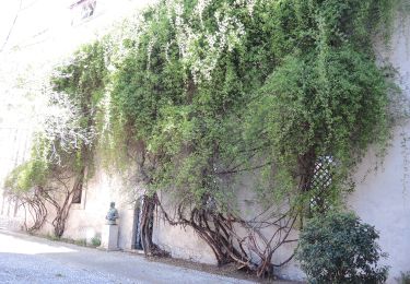
Trail Walking of 18.1 km to be discovered at Lazio, Rieti, Fara in Sabina. This trail is proposed by flip96.

Description

Etappe 16

Elevation profile

Positioning

Country:
Italy
Region :
Lazio
Department/Province :
Rieti
Municipality :
Fara in Sabina
Location:
Unknown
Start:(UTM)
311745 ; 4676835 (33T) N.

Trails nearby

Trail On foot Fara in Sabina - CAI 351: Fara Sabina - Farfa - Mompeo - Photo
On foot
GUIDE+

On foot

Easy
Fara in Sabina, Lazio, Rieti, Italy
8.4 km | 15 km-effort
3h 24min
No


Close
My subscriptions